Mapping Climate Change: Contested Futures in New York Citys Flood Zone

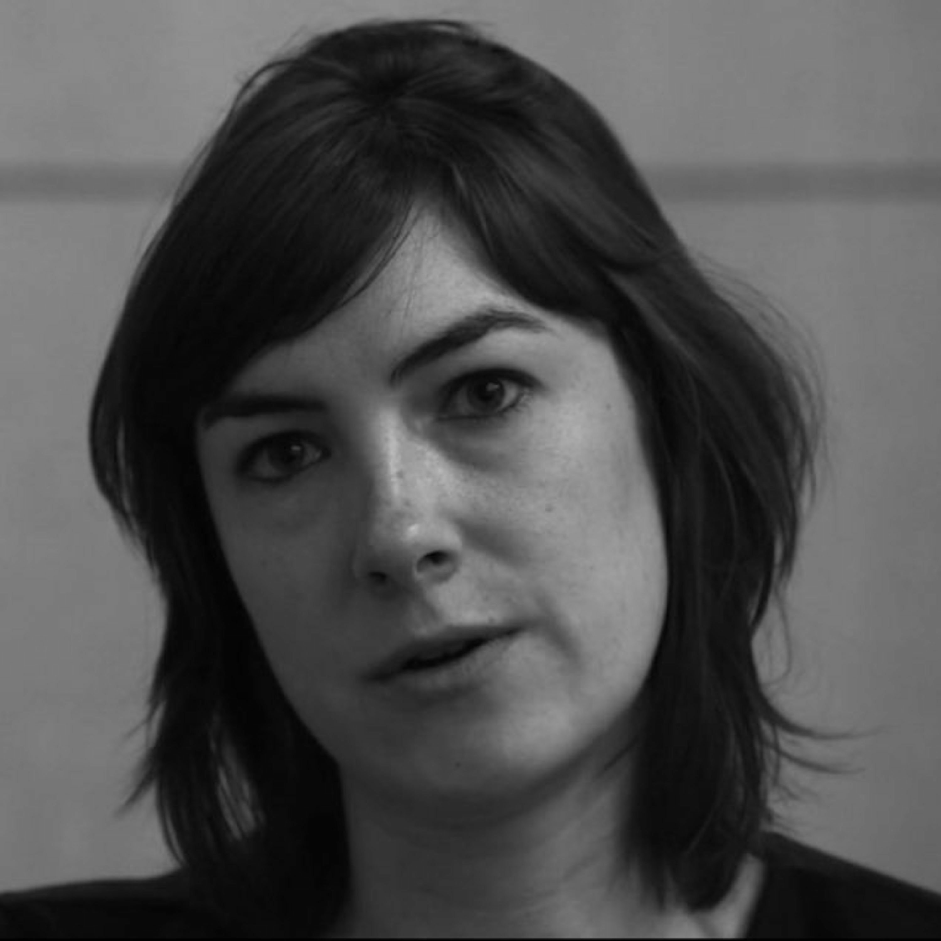
b'As seas rise, coasts erode, deserts spread, and permafrost melts, climate change is altering everyday life in many places. Even with immediate, drastic reductions in greenhouse gas emissions, sufficient warming is already \\u201cbaked in\\u201d to ensure ongoing disruption. What this disruption will look like, however, depends not only on the extent of global warming and its effects but also on the way these effects and their attendant risks are measured, mapped, and managed. This talk explores how certain places come to be seen as \\u201cat risk\\u201d in anticipation of climate change, and what this way of seeing means for their inhabitants. Drawing on fieldwork over four years in the aftermath of Hurricane Sandy, Koslov focuses on the fraught development and implementation of new FEMA (Federal Emergency Management Agency) flood maps for New York City, where hundreds of thousands of people and billions of dollars in property now lie in the high-risk flood zone.\\n\\nLiz Koslov is a Mellon Postdoctoral Fellow in the Humanities at MIT and holds a PhD in Media, Culture, and Communication from NYU. Her research examines the cultural, political, and social dimensions of climate change adaptation. She is currently at work on her first book,\\xa0Retreat: Moving to Higher Ground in a Climate-Changed City, under advance contract with the University of Chicago Press.'