#43: Jordan River Pathway Loop Backpacking Trip

b'
 \\n
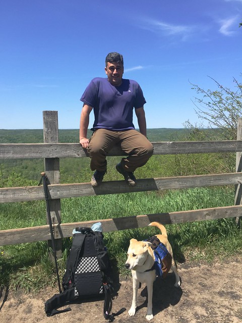
\\nWho is happier about this hike? I think Jim probably is. Kip though would enjoy himself though scampering through the woods when Jim was sure no one else was about.
\\nThe Jordan River Pathway and North Country Trail form an 18-mile loop. Located in the northwestern part of Michigan\\u2019s Lower Peninsula the Jordan River valley is perhaps a bit less well known than some other areas. I\\u2019ve actually not done this loop hike before. On May 31 and June 1, 2015 I joined Jim Walke and his dog Kip to backpack the loop. Like most people we decided to do the hike in the traditional counter-clockwise fashion starting at the overnight parking lot at Deadman\\u2019s Hill. But, I am getting ahead of myself - let\\u2019s start at the beginning\\u2026.
\\n\\xa0
\\nThere is a fair bit of information available about the Jordan River Pathway Loop. The JRP is maintained by the Jordan Valley 45\\xb0 North North Country Trail Association Chapter.\\xa0While some maps exist online for the area they are pretty meager affairs. You can get a rough sense of the area from this overall trail map (PDF file, page 2)\\xa0and of the detour from this map.\\xa0The map in Jim DuFresne\\u2019s Backpacking in\\xa0 Michigan book is decent and I expect the NCT map isn\\u2019t bad.
\\n\\xa0
\\n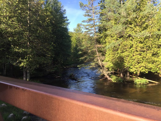 \\n
\\nWe were stirring by 07:00 and it was a chilly morning. I suspect the nighttime low was closer to freezing than either Jim or I expected. In fact, I learned Jim had a chilly night. But with the sun shining down upon us we warmd up as we crossed the Jordan River expecting another fine day of hiking.
\\n\\xa0
\\n\\xa0Jordan River Pathway Overview Map page 1 of 2.
\\n
Jordan River Pathway Overview Map page 2 of 2.
\\n
The complete photo album for the hike can be\\xa0found here on Flickr.
\\n