Soil Mapping
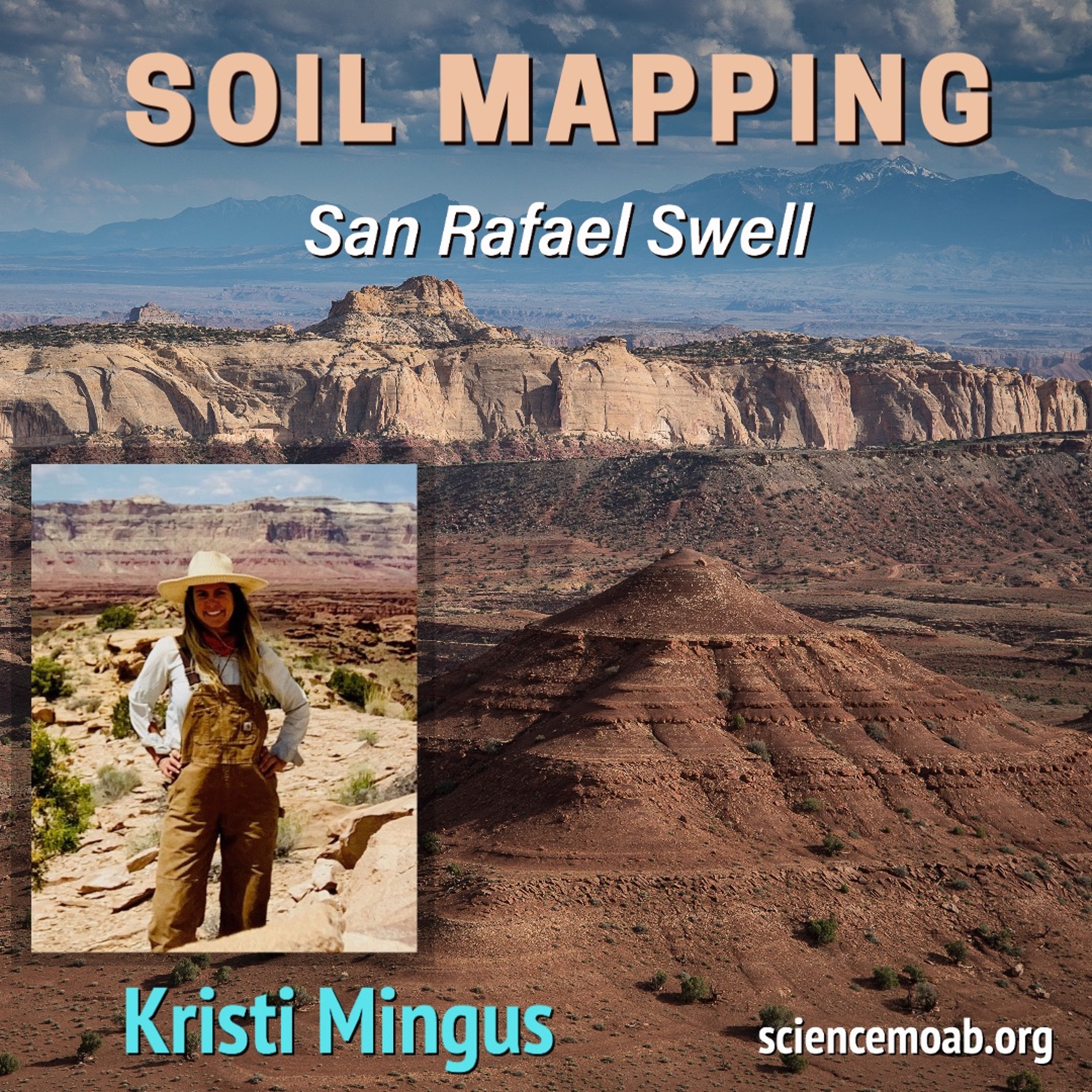
Soil mapping involves interpreting landscapes, how soil changes across it, and a bit of art to represent repeatable patterns in a map. The mapping of soils began in the U.S. in the 1930\u2019s as a result of the Dust Bowl, but many remote areas in the West are just getting mapped for the first time. Soil scientist Kristi Mingus talks to Science Moab about her work mapping soils in remote areas of Emery County, Utah. We discuss how the data is collected, how the maps are made, and how the information is available to the public.